Topographical map
This file appears in: University Parkway Viaduct
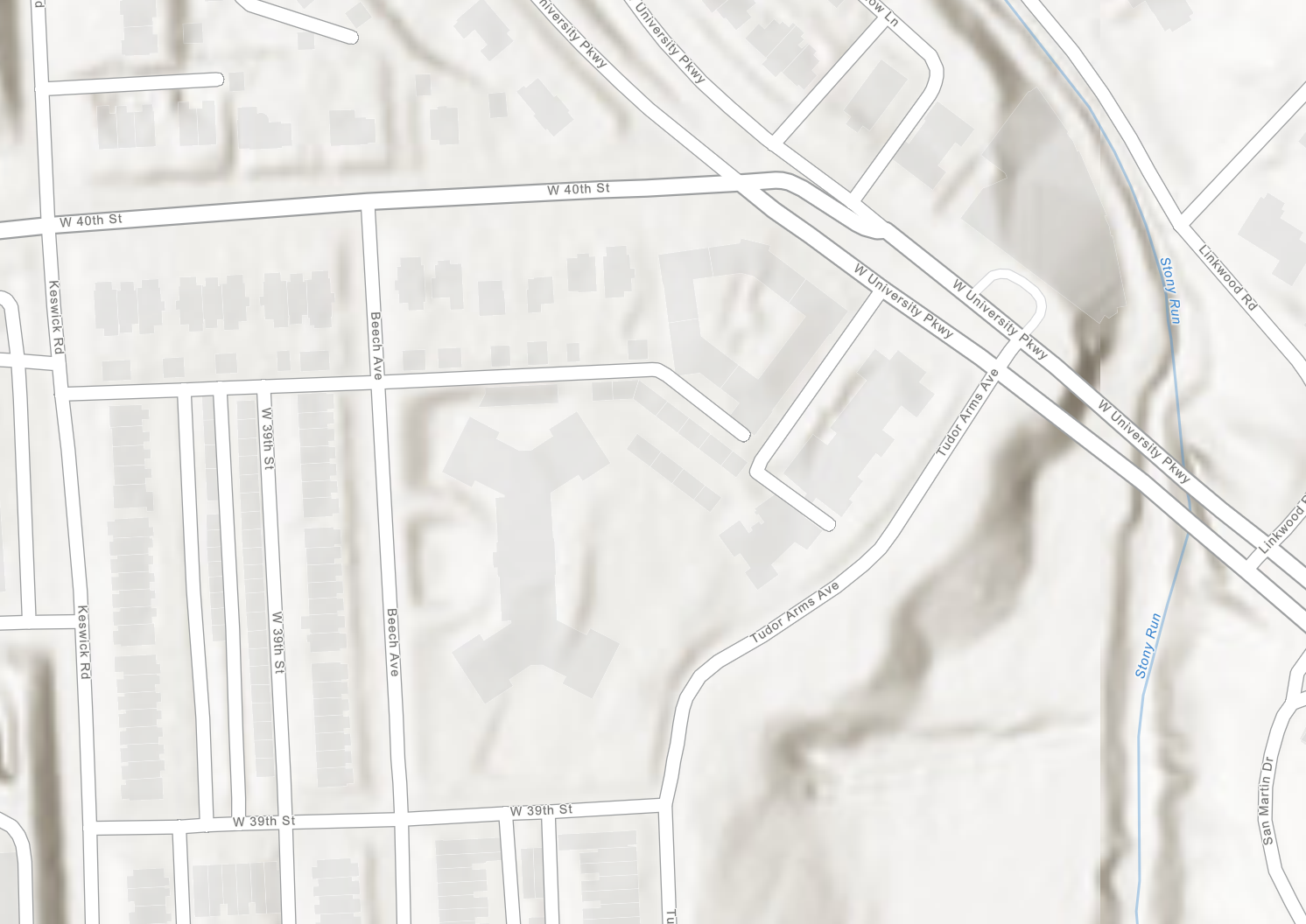
A topographical map with a close-up on the bridge over Stony Run, showing two lanes of traffic, nearby roads, and the valley in which the Ma & Pa railroad once used, alongside the stream
This file appears in: University Parkway Viaduct
University Parkway Viaduct
The West University Parkway concrete bridge arcs over Stony Run to connect the neighborhoods of Roland Park and Tuscany-Canterbury. Hikers can follow a pedestrian pathway from Wyman Park, and walk…